
Nov 12, 2025 · 6 min read
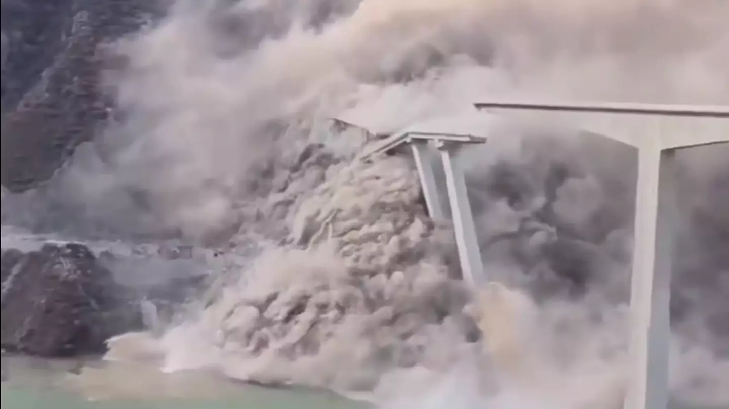
Breaking News: Shocking Incident of Bridge Collapse Unfolds
Table of Contents The Aftermath: Details and Updates Implications for Infrastructure Development Community Response...
Thailand braces for severe weather today, October 26, as Tropical Storm Trami sweeps across the nation, bringing heavy rain, thunderstorms, and potential flooding to 31 provinces. With a warning from the Meteorological Department, Thailand prepares for widespread weather impacts, especially in northeastern, central, and eastern regions. Tropical Storm Trami: Key Weather Impacts Across Thailand Storm’s

Thailand braces for severe weather today, October 26, as Tropical Storm Trami sweeps across the nation, bringing heavy rain, thunderstorms, and potential flooding to 31 provinces. With a warning from the Meteorological Department, Thailand prepares for widespread weather impacts, especially in northeastern, central, and eastern regions.
Tropical Storm Trami, currently moving over the central South China Sea, is expected to bring intense rain to 31 provinces. The storm’s effects are heightened by strong winds from the Andaman Sea and upper Thailand, increasing rainfall in affected areas. Approximately 40% of these provinces are likely to see significant downpours, raising concerns about localized flooding and disruptions.
Each region of Thailand will experience unique weather conditions due to the storm’s influence. Let’s break down what to expect in each part of the country:
The northern provinces, including Uttaradit, Phitsanulok, Phetchabun, and Phichit, can expect a cool morning followed by isolated thunderstorms. Temperatures will range from 22 to 25°C in the morning, rising to 33–36°C by day. Northeasterly winds are forecasted at 10 to 15 km/h.
In the northeast, regions like Loei, Chaiyaphum, Nakhon Ratchasima, Amnat Charoen, and Ubon Ratchathani are likely to experience heavy rain and thunderstorms throughout the day. Morning temperatures will hover between 18–24°C, increasing to 32–34°C. Winds from the northeast are expected at 10–30 km/h.
The central provinces, including Lopburi and Saraburi, will also see scattered thunderstorms and heavy rain. Temperatures will range from 23 to 25°C in the morning and may reach up to 35–36°C later in the day. Northwesterly winds are predicted at 10 to 20 km/h.
The eastern region, covering Nakhon Nayok, Prachinburi, Chachoengsao, Chon Buri, Rayong, Chanthaburi, and Trat, is likely to experience heavy rain over 40% of the area. Temperatures here will vary from 23 to 26°C in the morning, peaking between 33 and 35°C later. Northwesterly winds at 15–30 km/h are expected, and waves could reach over two meters during thunderstorms.
Storm Trami’s effects are expected to hit southern Thailand’s eastern and western coasts, especially in areas such as Surat Thani, Nakhon Si Thammarat, Songkhla, Phang Nga, and Phuket. Here’s a closer look at what’s forecasted for each coast:
The eastern coast will experience thunderstorms over 40% of the area, with temperatures ranging from 22–25°C in the morning and reaching up to 35°C later. Winds in areas south of Nakhon Si Thammarat may hit 15–35 km/h, and waves could rise over two meters during storms.
On the western coast, including Phang Nga, Phuket, and Krabi, approximately 60% of the area will experience thunderstorms. Temperatures are forecasted at 24–25°C in the morning, with a peak of 31–33°C. Winds of 15–35 km/h may drive waves to heights of one to two meters, and over two meters in thunderstorms.
The Meteorological Department advises mariners to navigate carefully, especially in the Andaman Sea and the lower Gulf of Thailand, where waves could exceed two meters in storm-prone areas. Vessels are urged to avoid areas with thunderstorm activity for safety.
Residents in affected regions are encouraged to stay informed and take precautions to prepare for potential flooding. With continuous rain and rising water levels, residents should monitor local advisories and avoid risky travel during peak storm hours.
In Bangkok, thunderstorms are expected over 40% of the area, with temperatures from 23 to 27°C in the morning and a high of 34–36°C by afternoon. Northwesterly winds will likely reach 10–20 km/h.
To ensure safety during Tropical Storm Trami, stay updated with weather alerts from reliable sources. Monitor forecasts and prepare for sudden changes in weather, especially in areas prone to thunderstorms.
Due to potential flooding and high waves, residents are advised to secure outdoor objects, stay indoors during intense rain, and avoid unnecessary travel in affected regions.
Table of Contents The Aftermath: Details and Updates Implications for Infrastructure Development Community Response...
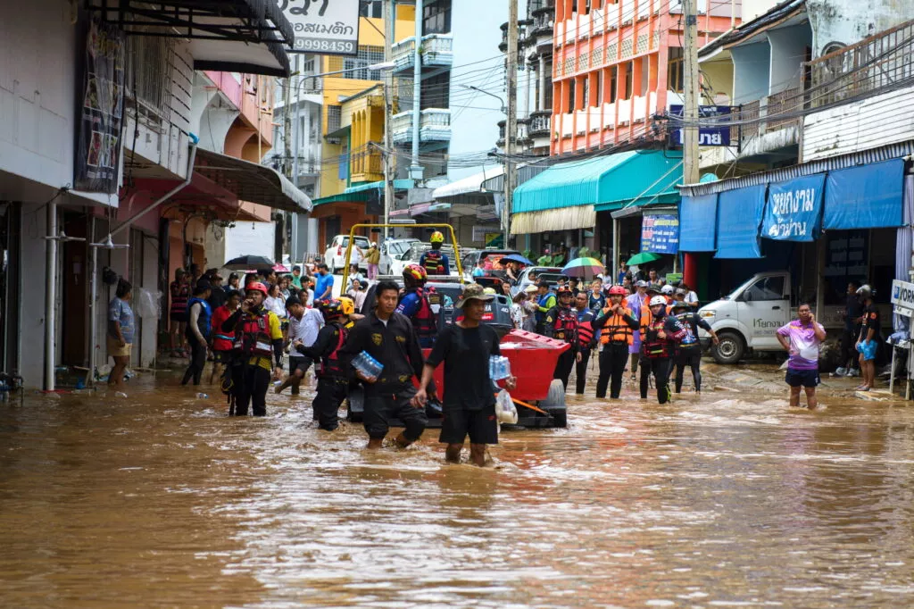
Table of Contents Understanding the Relationship Between Climate Change and Natural Disasters Unraveling the Scienc...

Devastating Floods Strike Nan Province Record Rainfall Overwhelms Communities Nan province faced unprecedented floo...
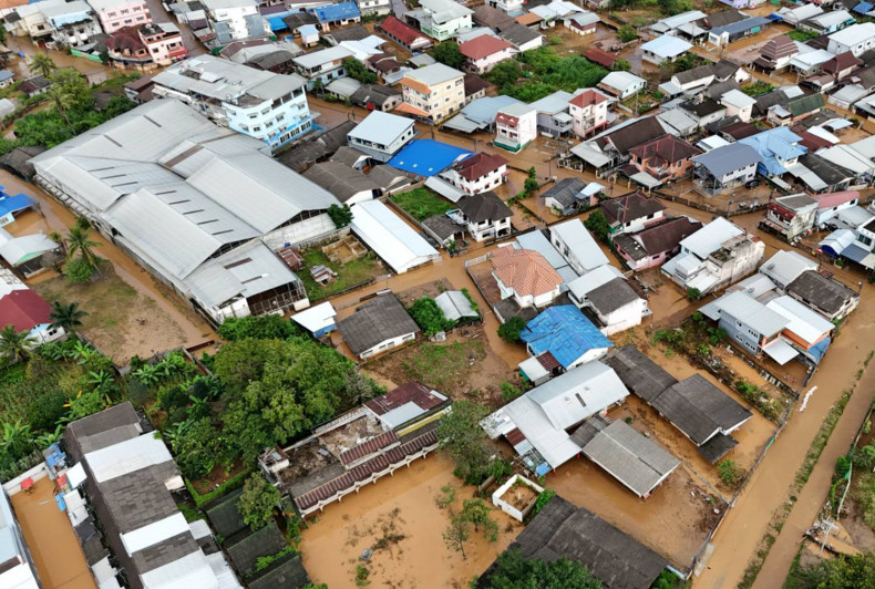
Rising River Levels Threaten Communities Chiang Rai Faces Severe Flooding On July 29, 2025, northern and northeaste...

Wildlife Bust at Suvarnabhumi Suspicious Luggage Sparks Investigation On July 25, 2025, a 53-year-old Japanese man,...

National Parks Support Military Operations Strategic Use of Border Areas Thailand’s Department of National Parks, W...